Upload, featuring columns written by high school students from across Niagara.

This is the first in a series, called Upload, featuring columns written by high school students from across Niagara. The first was written by Cameron Lacelle, of Port Colborne High School
- - -
All my life, I have had trouble figuring out who I am and what I wish to do to make my life an admirable one.
By examining the opportunities bestowed upon me by Port High since Grade 9 geography, such as preparing for the 2014 ESRI conference and the 2015 ArcGIS skills competition, it is crystal clear that these high school opportunities will directly help to drive the future that lies ahead of me.
On my first day of second semester in Grade 9, I had a geography class — and WOW!
Throughout that semester, we learned fascinating geographic concepts and used a program called Arc Map 10.1 to make our own maps using various types of data.
I thoroughly enjoyed the dynamics of that class and planned to sign up for every geography course available in my next three years at Port High (not to mention, I worked hard and passed the class with a solid 99%).
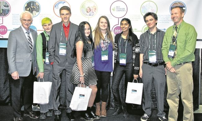
As the start of my second year at Port High, with a few other classmates I was able to create a slideshow to present at the 2014 Toronto ESRI (Environmental Systems Research Institute) Conference.
We were given the task to display our geography capabilities in the classroom to the 950-plus people in the audience.
During the event, I was able to meet some of the specialists at ESRI — a tremendous experience that may also unlock some doors in my near future.
This accomplishment will allow me to be known around the geography world and I may now be able to obtain a job or co-op placement during or after university with my new knowledge and experiences.
As spring rolled around in my Grade 10 year, my geography teacher again approached me and a few others. He announced there would be a GIS skills competition in March, and offered to let us train and take part in the challenge.
My teammate and I prepared for months prior to the competition and performed well, coming in second behind the other team from Port High that placed first, but losing to my Port High friends by only a quarter of a point.
This loss encouraged me to work harder so I can possibly win in this year’s competition, and helped me to learn some new GIS tactics and techniques to help me be more advanced in my mapping.
The geography department at Port High has and will help drive my future greatly, as it has already through opportunities given to me such as using ArcGIS in Grade 9 geography, the 2014 ESRI conference and participating in the 2015 GIS skills competition.
All of these events will help me to better map out my future education and my life.
- - -
Cameron Lacelle is a Grade 11 student at Port Colborne High School